|
 |
|
PeakPal |
 |
|
Get
PeakPal at the Apple App Store (iPhone, iPad) |
| |
|
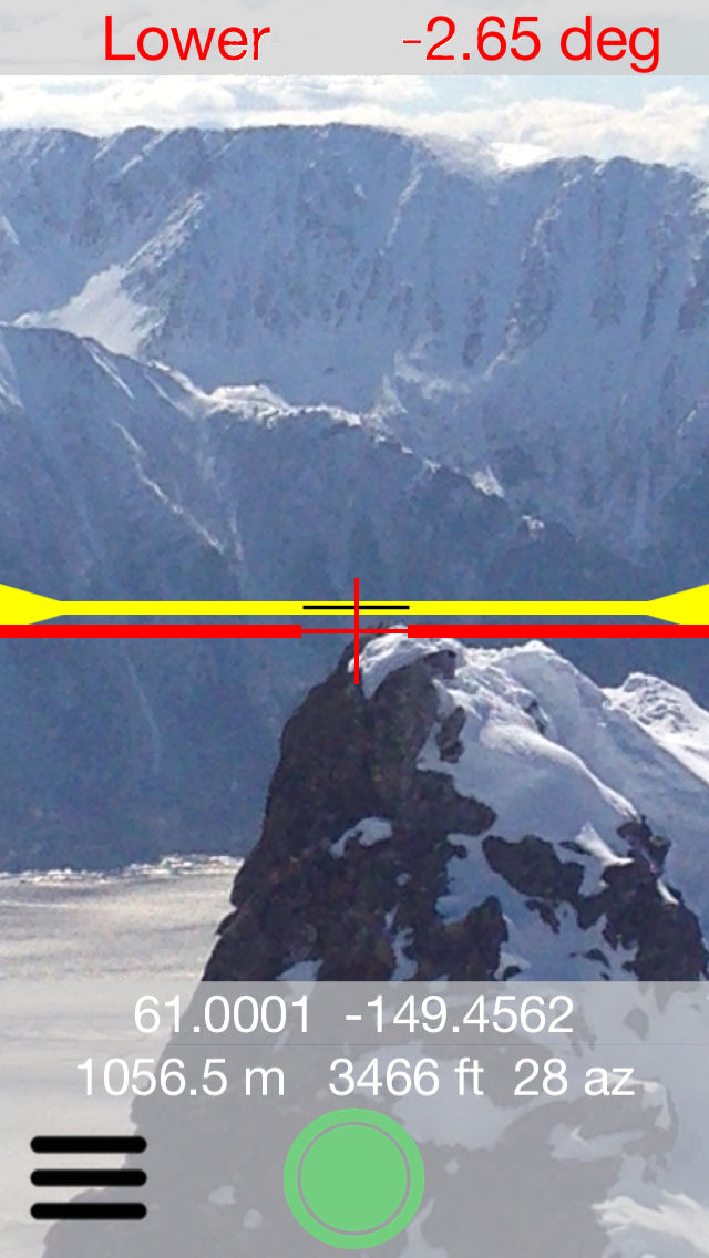
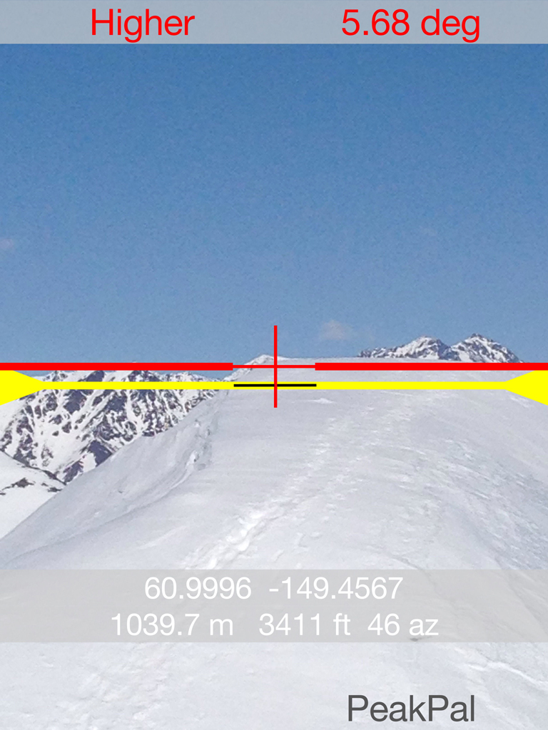
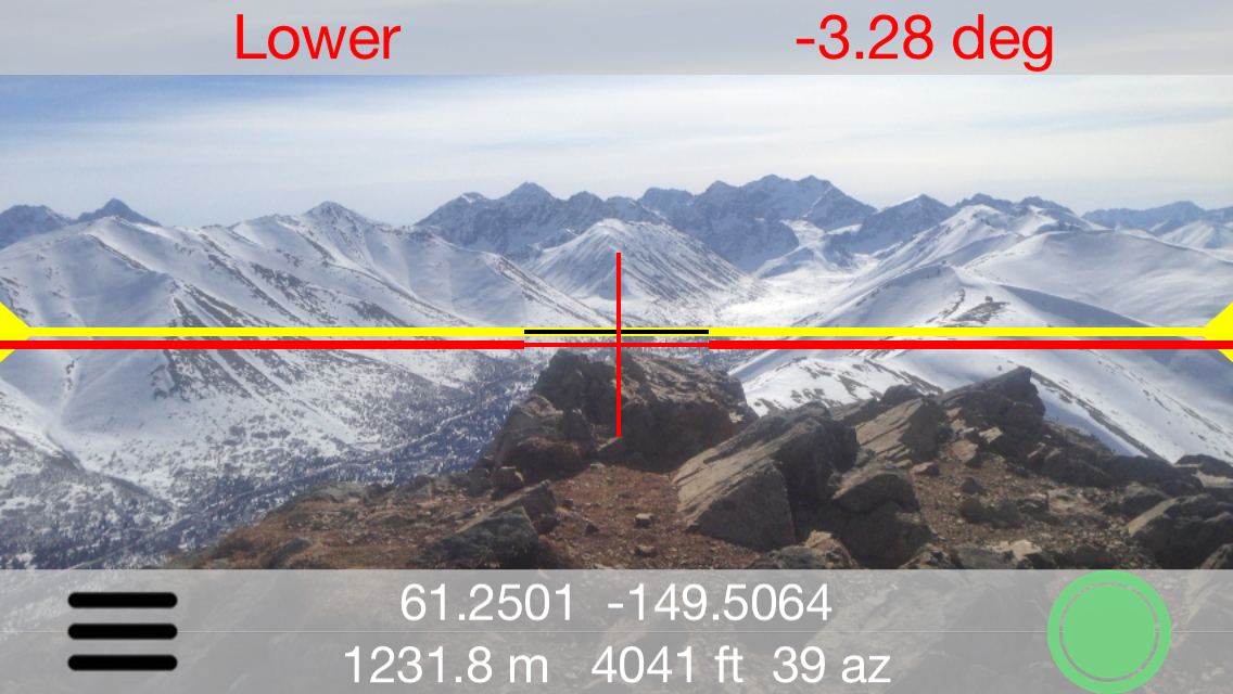
PeakPal is a backcountry height comparison and
slope angle measurement iPhone camera app.
Simple to use. Position the red crosshairs on your target.
PeakPal tells you if the target is higher or lower than you (yellow
line), and by how many degrees. Press the app button to take a
picture. Photo is saved with PeakPal lines and GPS, elevation and
compass bearing data.
The idea for this phone app came from Alaskan peak bagging. Know
if you are on the highest summit point. And be able to prove it.
PeakPal ... Be On Top! |
 |
 |
|
Determine if distant points are
higher or lower. Zoom in for better accuracy. |
 |
 |
|
Press green button and save a photo
with embossed PeakPal data. Prove you were there. |
Use for avalanche safety.
Angle background turns red when in avalanche danger zone (30-45 degrees) |
 |
 |
|
Compare your elevation relative to
other peaks, or incoming clouds. Can be used by pilots to gauge
cloud ceilings. |
Determine the angle of trails.
Helps with running or hiking decision when previewing mountain running
race courses. |
 |
|
PeakPal works in landscape
mode too. |
 |
 |
|
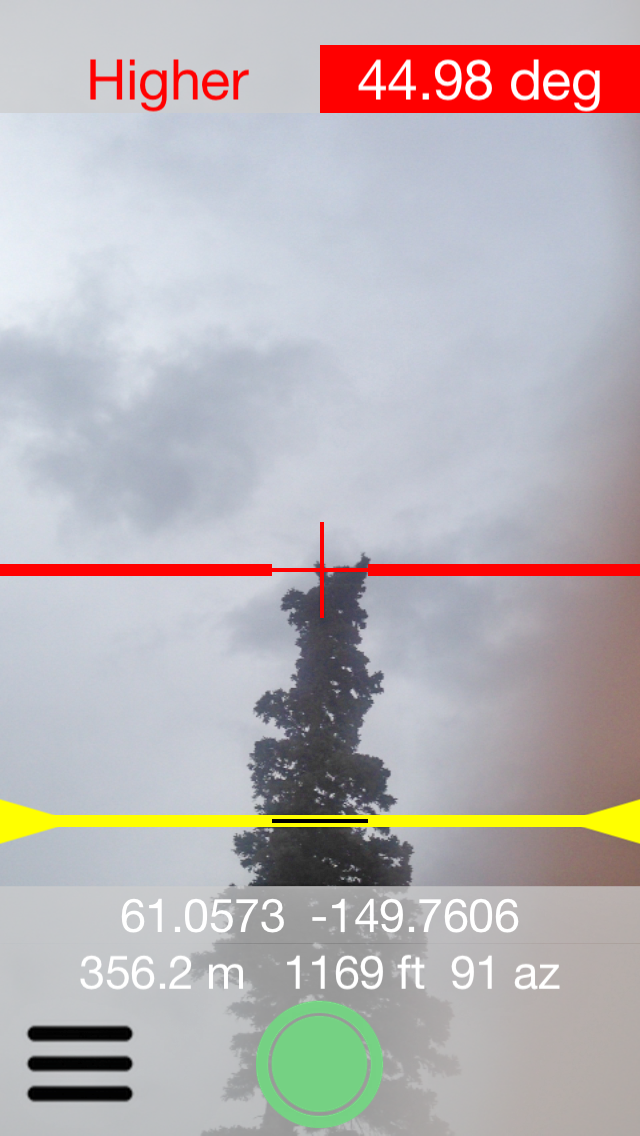
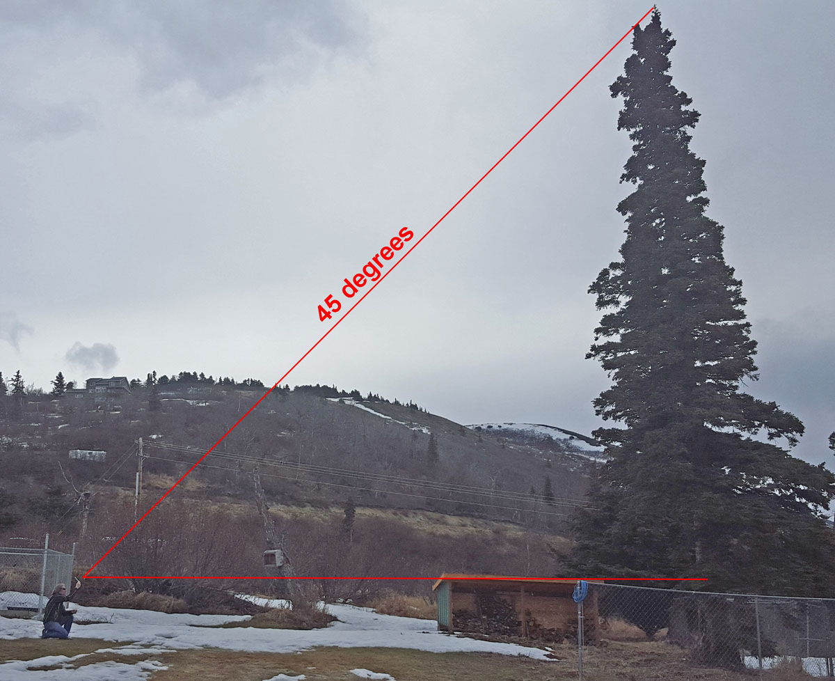
PeakPal can also be used for the
estimation of tree height. And especially, for estimating where a
tree will fall ... so the tree doesn't hit stuff you don't want it to
hit! Move to a point where PeakPal shows approximately a 45 degree
angle to the top of the tree. At that point, tree height will
equal the distance from phone to tree plus the distance from phone to
ground. |
 |
|
Finally, PeakPal has a calibration
feature. Both pitch, for portrait mode usage, and roll, for
landscape mode usage, can be calibrated to a verified-level surface. |

PeakPal
on Facebook |
|
 |